AZUnsolved created Mount Diablo Radians and Inches, an ArcGIS online webmap, to help researchers visualize the various geographic aspects of the Zodiac case, and specifically regarding the unsolved Z32 cipher and associated Philips 66 map.
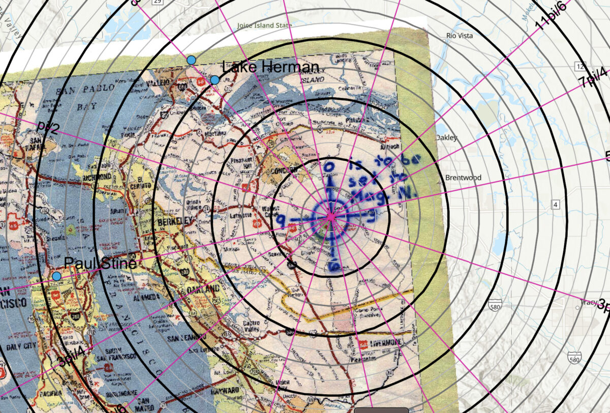
The Phillips 66 map sent by the Zodiac was an inset map cut out from a larger California road map. He drew a crosshair over Mount Diablo with instructions “0 is to be set to Mag. N” and 0, 3, 6, and 9 labels on the four radial lines. This was sent alongside a letter containing a 32-character cipher and instructions to use “The Map coupled with this code” to find the location of his supposed bomb.
A letter sent three months by the Zodiac contained the clue “P.S. The Mt. Diablo code concerns radians and #inches along the radians”.
The Mount Diablo Radians and Inches webmap contains a georeferenced high-resolution scan of the Zodiac’s annotated Phillips 66 map, early 1960s USGS topographic maps (1:250,000 scale), “radians” in both typical mathematical usage and as 12-sided division as implied with the 0,3,6,9 crosshair, and concentric circles around Mount Diablo in inches, half inches, and quarter inches.
Happy mapping!
Link to Mount Diablo Radians and Inches webmap:
https://www.arcgis.com/apps/mapviewer/index.html?webmap=cdd970982b764a4fae7e351c8905973f
Tip: The Layers Panel
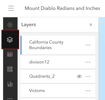
Navigate to the layers panel to switch on and off the various layers. This can be done by clicking the eye icon to the right of the layer.